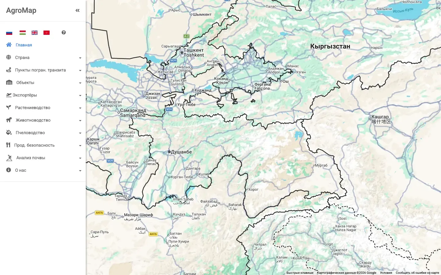
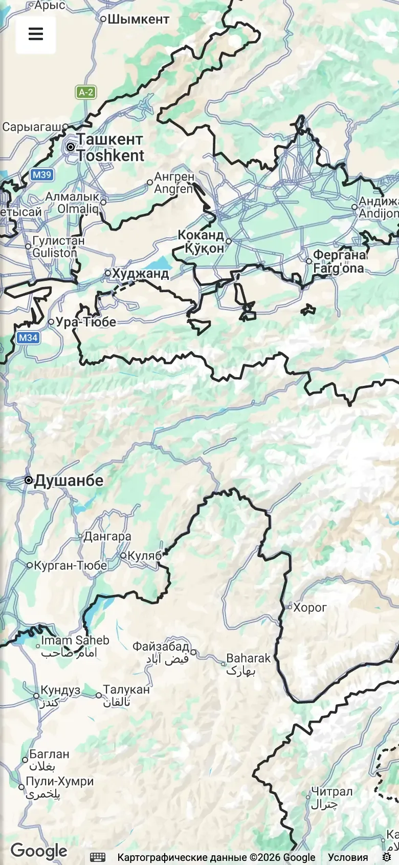
AgroMap, an electronic agricultural map of Tajikistan, Kyrgyzstan and Russia.
The map shows what a farmer or an exporter needs, in layers by topic.
- Road, rail and river border crossings and airports.
- Farm shops, storage, greenhouses and processing plants.
- Exporters by product.
- Crops, livestock, beekeeping, food security and soil analysis.